South West Scotland Munros
20 Munros situated around Arrochar, Ben Lomond, Tyndrum. All Munros are south of Bridge of Orchy and south/west of the A84/A85.
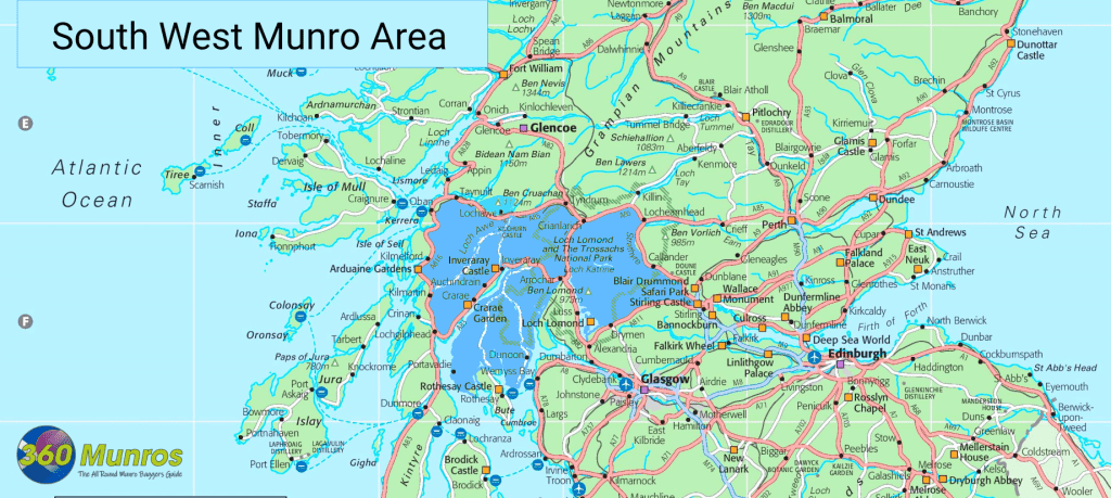
Nearest Towns – Arrochar, Crianlarich, Tyndrum, Dalmally, Taynuilt, Balmaha.
| Name | Height | English Name/Meaning | |
|---|---|---|---|
| Ben More (Crianlarich) | 1174m VR360° | ‘Big Mountain’ | |
| Stob Binnein | 1165m VR360° | ‘Conical Peak’ | |
| Cruach Ardrain | 1046m VR360° | ‘Stack of the High Part’ | |
| Ben Lui – Beinn Laoigh | 1130m VR360° | ‘Hill of the Calf’ | |
| Ben Oss | 1029m VR360° | ‘Mountain of the Elk’ | |
| Ben Cruachan | 1126m VR360° | ‘Mountain of Peaks’ | |
| Beinn Ime | 1011m VR360° | ‘Butter Mountain’ | |
| Stob Daimh -Stob Diamh | 998m VR360° | ‘Stag Peak’ | |
| An Caisteal | 995m VR360° | ‘The Castle’ | |
| Beinn Eunaich | 989m VR360° | ‘Fowling Hill’ | |
| Beinn a’Chochuill | 980m VR360° | ‘Hill of the Hood’ | |
| Beinn Dubhchraig | 978m VR360° | ‘Mountain of the Black Rock’ | |
| Ben Lomond | 973m VR360° | Scottish Gaelic: ‘Beinn Laomainn’ ‘Beacon Mountain’ |
|
| Beinn Bhuidhe | 948m VR360° | ‘Yellow Hill’ | |
| Beinn Tulaichean | 946m VR360° | ‘Hill of Hillocks’ | |
| Ben Vorlich – Arrochar | 943m VR360° | ‘Hill of the Bay’ | |
| Beinn a’Chroin | 940m VR360° | ‘Hill of the Sheepfold’ | |
| Beinn Chabhair | 933m VR360° | ‘Hill of the Hawk’ | |
| Beinn Narnain | 926m VR360° | ‘Hill of Notches’ | |
| Ben Vane |
915m VR360° | ‘Middle Mountain’ |
