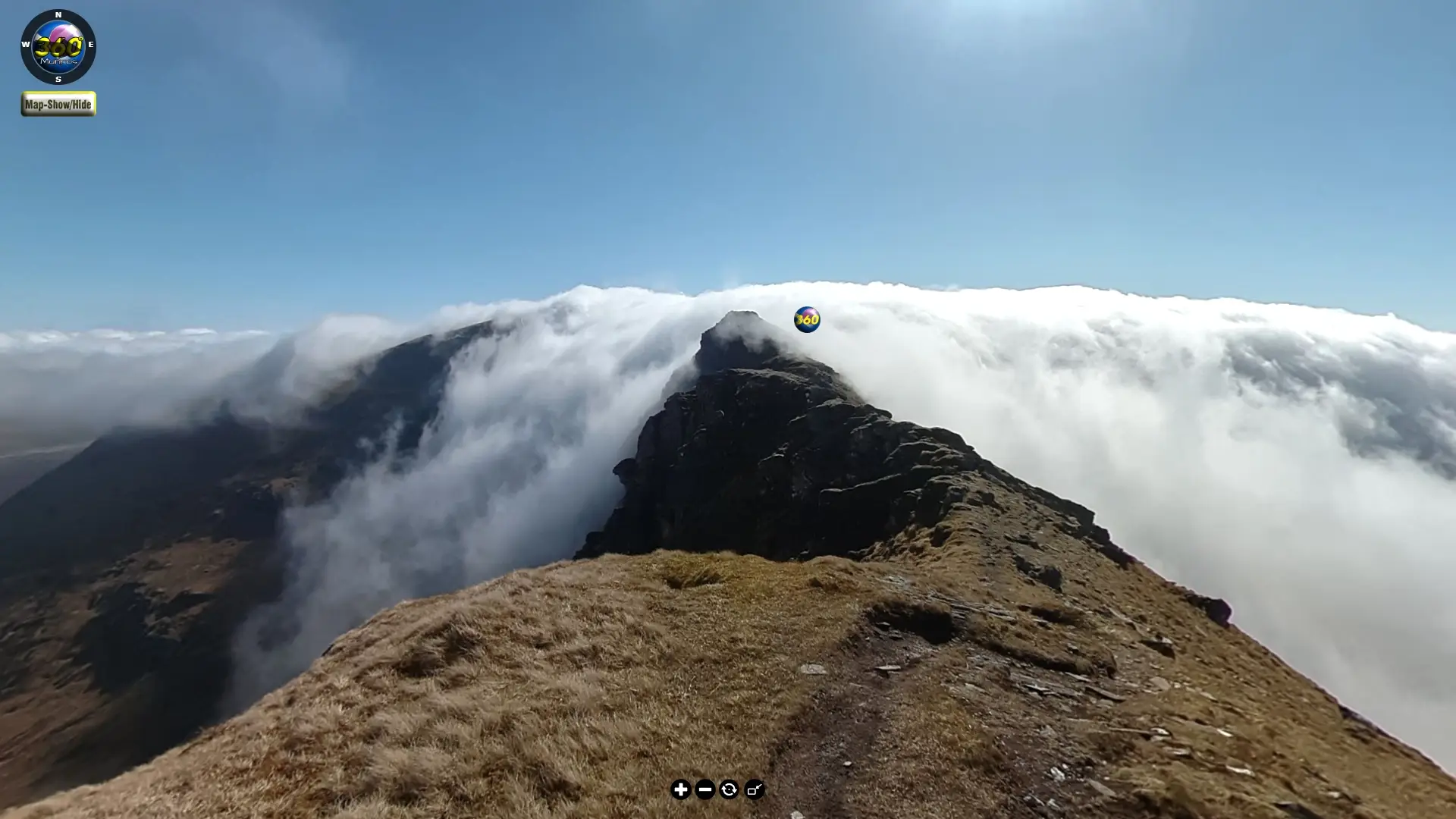
At 360 Munros, we believe the mountains belong to everyone. Our immersive 360° virtual tours open up Scotland’s iconic Munros in a way that’s never been done before—not just for those who climb them, but for anyone who dreams of them.
Whether you’re a seasoned hillwalker, someone who can no longer reach the summits, or simply curious about the wild beauty of Scotland, these tours let you explore ridges, glens, and peaks from wherever you are. Show your friends and family where you’ve been. Share the thrill of the ascent, the solitude of the summit, and the breathtaking views—all with a few clicks.
This isn’t just about planning routes. It’s about making the Munros inclusive, accessible, and unforgettable. Adventure should be for everyone – and now, it is.
Latest Routes
Check out the very latest 360° virtual Munro Bagging routes below.
Beinn Sgritheall
Rising steeply above the shores of Loch Hourn, Beinn Sgritheall is often described as one of the most dramatic viewpoints in the Highlands. Munro Route Details.
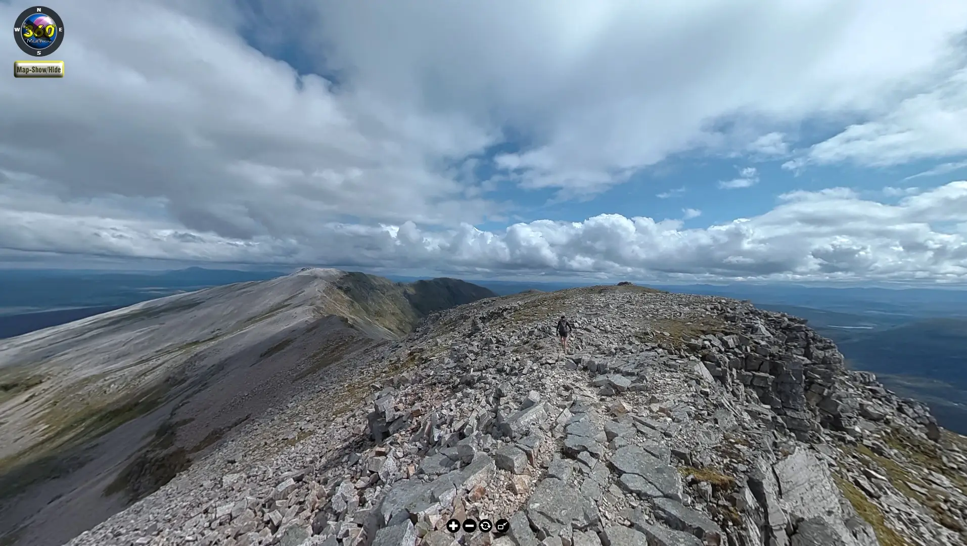
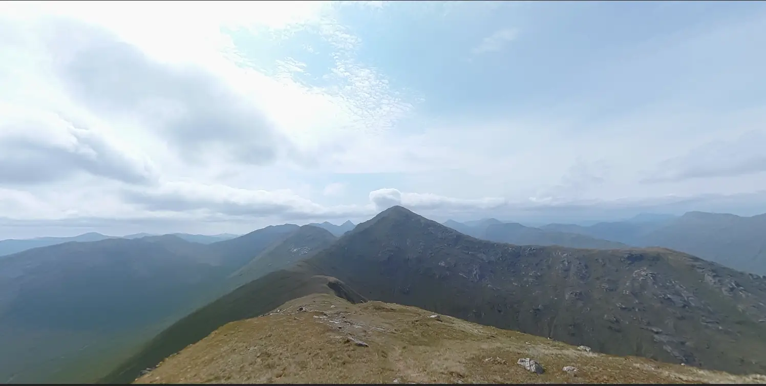
Conival & Ben More Assynt
Conival (987m) and Ben More Assynt (998m) are the only two Munros in the Assynt region of the north-western Scottish Highlands. They’re connected by a rocky ridge and offer a dramatic and rewarding hike through a remote and geologically fascinating landscape. Munro Route Details.
Ben Vane
One of the smallest Munros by elevation. Despite its modest height, the climb is strenuous, with an elevation gain of around 1000 meters. Munro Route Details.
Sgùrr Choinnich, Sgùrr a’ Chaorachain, and Maoile Lunndaidh
These three Munros form a rugged and remote cluster in the Northwest Highlands of Scotland, often tackled together by adventurous hikers seeking solitude and dramatic scenery. Munro Route Details.
Bidein a’ Choire Sheasgaich and Lurg Mhòr
Bidein a’ Choire Sheasgaich and Lurg Mhòr are two remote and rugged Munros located in the Northwest Highlands of Scotland, within the Attadale Forest area, east of Loch Carron and West of Loch Monar. Munro Route Details.
Sgùrr Mòr
Munro Sgùrr Mòr and Corbett Sgùrr an Fhuarain from Glen Dessarry.
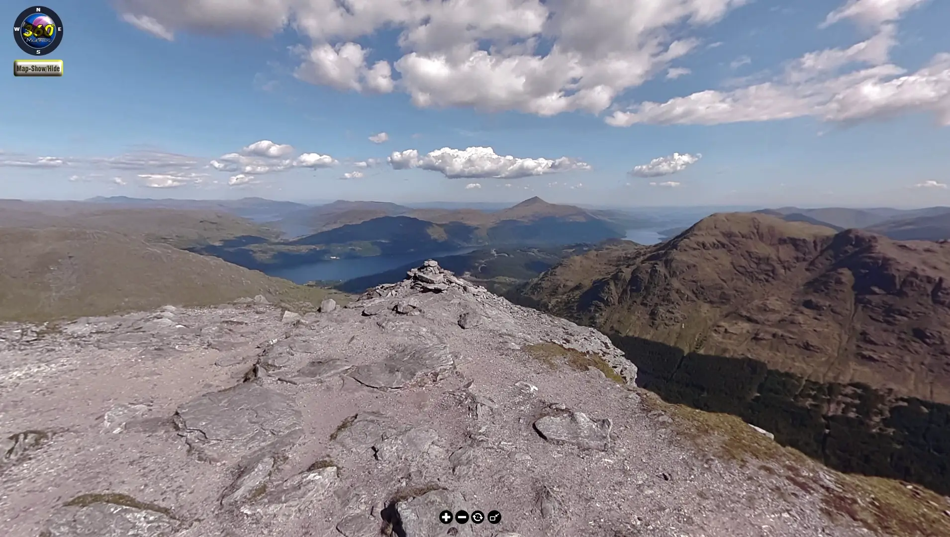
2 Munros located on the north eastern edge of Loch Lomond and the Trossachs National Park – Ben Vorlich and Stùc a’ Chròin from the south shore of Loch Earn. Munro Route Details.
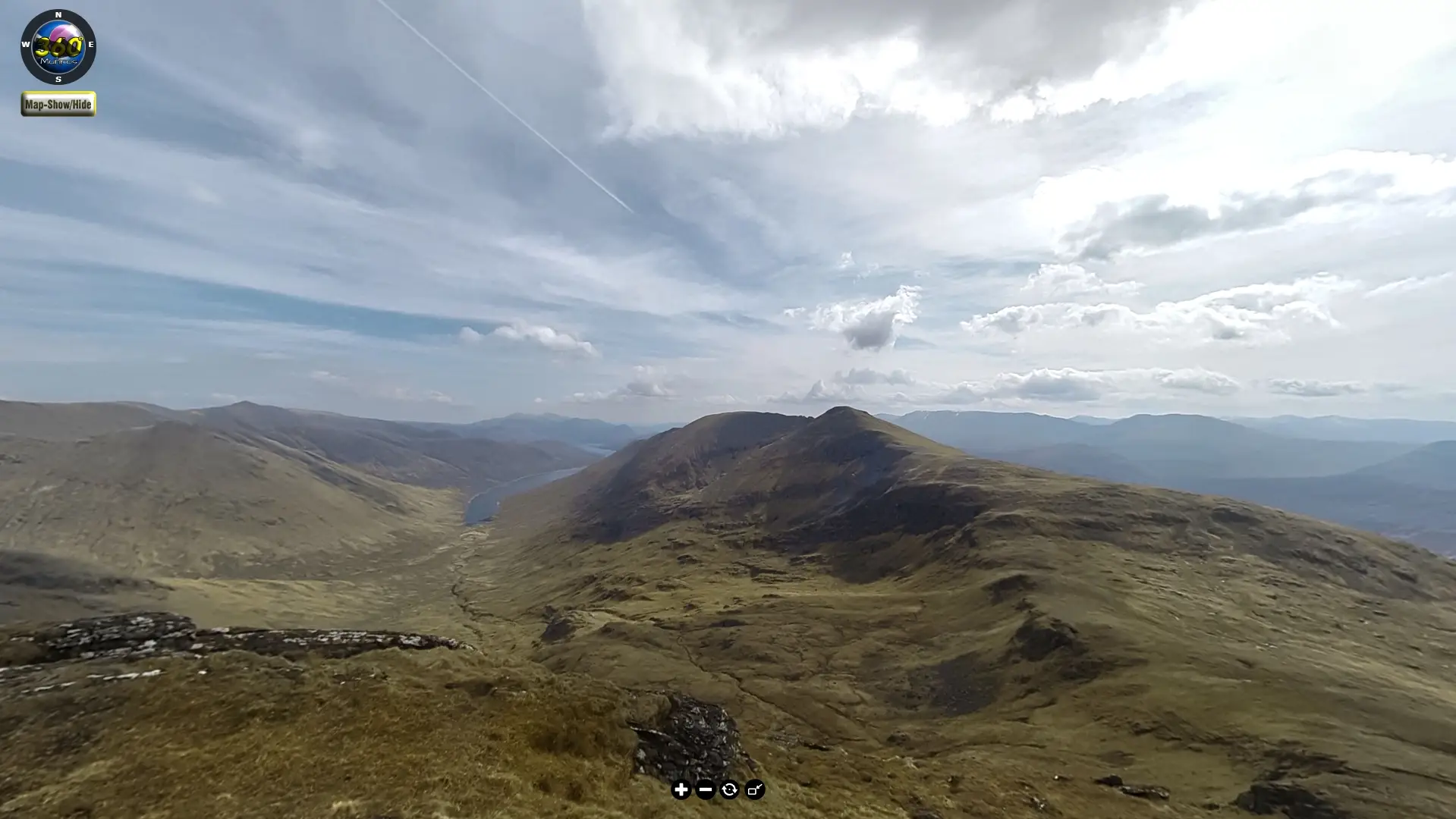
Embark on a breathtaking hike along the Meall nan Tarmachan Ridge, a jewel nestled in the Ben Lawers Range of the southern Scottish Highlands. Munro Route Details.
The Mullardoch Round
The Mullardoch Round is a demanding and remote mountain circuit in the northwest Highlands of Scotland. It encompasses 12 Munros around Loch Mullardoch, offering a true test of endurance and navigation skills. Munro Route Details.
The Fisherfield Munros
A virtual tour from Corrie Hallie into the wilds of Fisherfield Forest. Here we climb 5 Munros and a Corbett located within some of Scotland’s most remote and rugged landscape. Munro Route Details.